
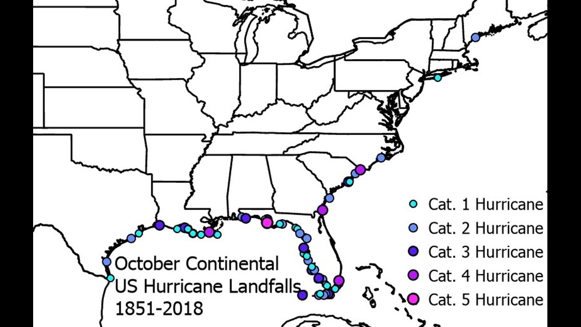
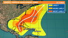
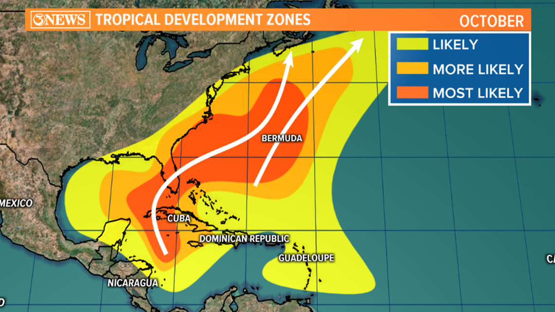
CORPUS CHRISTI, Texas — The Atlantic Hurricane Season runs from June 1 - November 30. By the time we reach October, the chances of a tropical storm or Hurricane heading for the Coastal Bend decline, but the chance isn't zero. In fact, looking at historical data, there is a second peak of hurricane activity in the early and middle parts of October. That activity tends to develop in either the Western Caribbean or Gulf of Mexico and track from south to north. Long track, trans-Atlantic storms are pretty much done-with by mid to late October. In looking at historical hurricane strikes in October, you can see the the Texas Gulf Coast is not immune to hurricanes; it's happened more than once.

Now, for the current tropical wave. It's over the Yucatan Peninsula this morning and is unorganized. A larger scale feature called the Central American Gyre is aiding in the development of tropical activity around Central America. Another tropical wave is ongoing in the Pacific. The Central American Gyre can serve to enhance tropical activity when present.


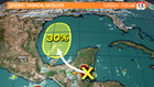
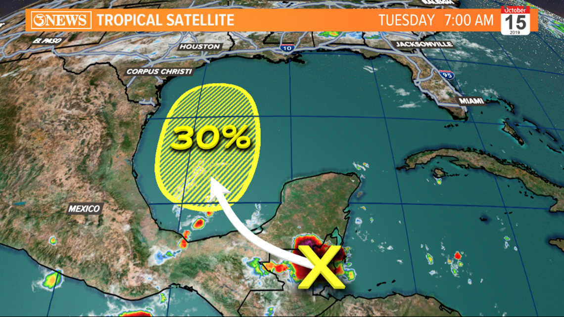
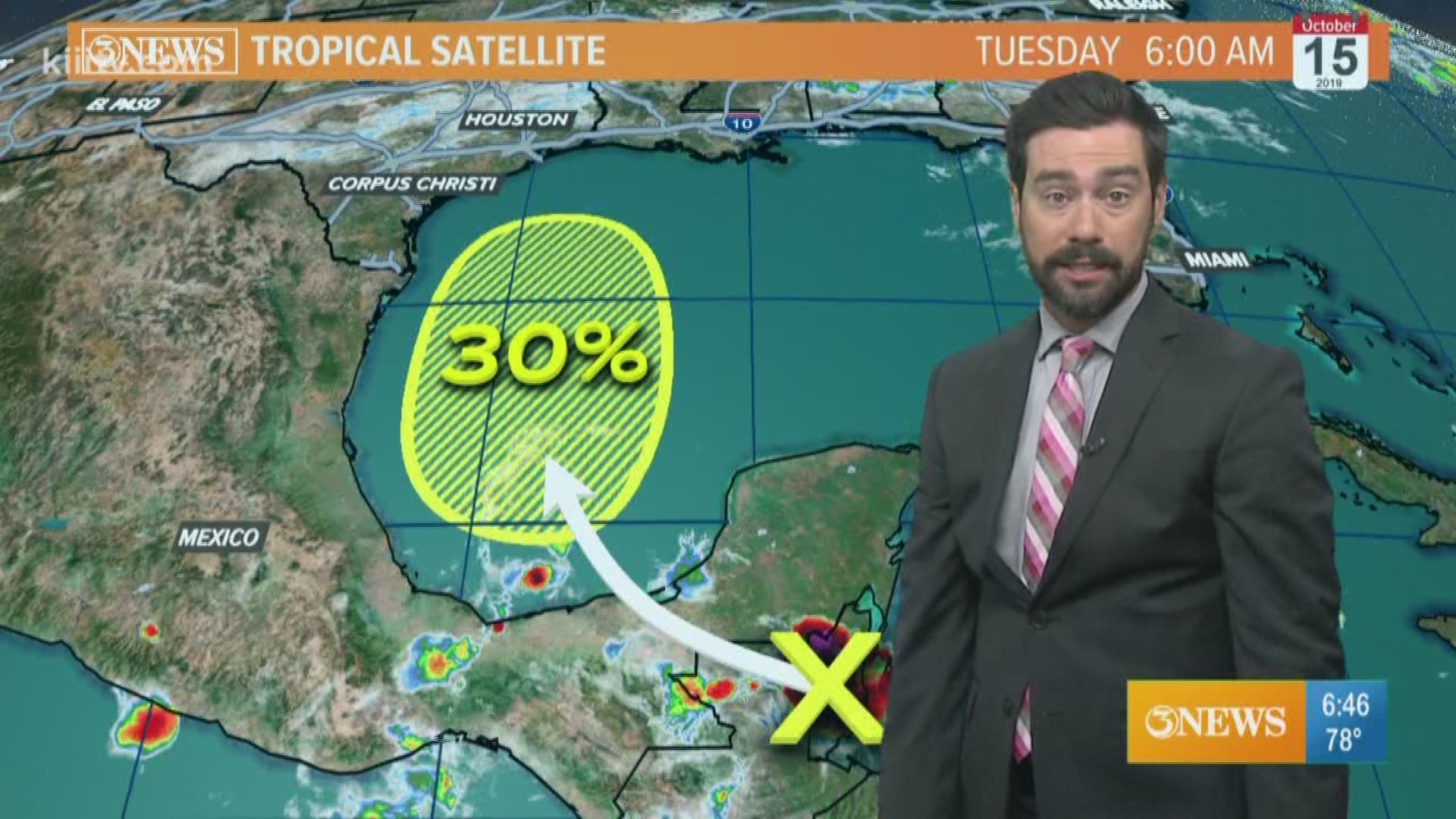
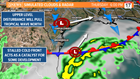
The National Hurricane Center is giving the tropical wave over the Yucatan a 30% chance to develop over the next 5 days (as of Tuesday morning). The most likely time-frame for development will likely be Thursday-Saturday as it emerges into the Bay of Campeche and Western Gulf of Mexico. While this is something to watch closely, I don't think it's something to worry about in the Coastal Bend. Here's why:
The cold front that will work through the Coastal Bend Wednesday morning will be stalled south of Texas, in the Gulf of Mexico by Thursday. Stalled frontal boundaries can serve as catalysts for tropical development when tropical disturbances interact with them. Some weather guidance (Euro/GFS) is hinting at a weak cyclonic, somewhat organized spin Thursday-Saturday as the tropical wave over the Yucatan interacts with the stalled front.
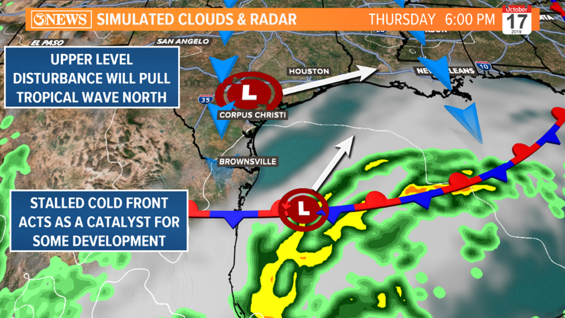
At the same time the tropical wave is in the Western Gulf, a weak upper atmosphere disturbance will be working west to east across South Texas. This feature and the retreat to the north of the stalled frontal boundary will deflect the tropical wave to the north and east - taking a track toward Louisiana and moving in Saturday morning.
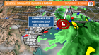
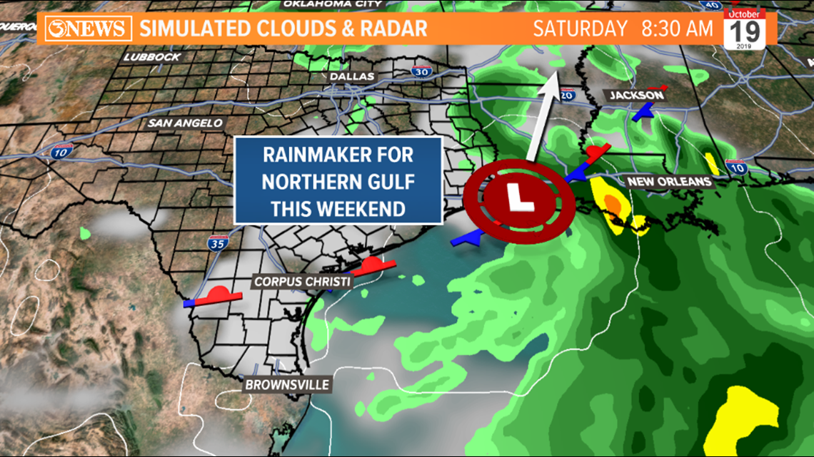
This will be a rain-maker for the northern gulf states this weekend if current forecast holds. This scenario would pull moisture away from the Coastal Bend, lowering rain chances, as temperatures warm into the weekend. While I do not see this as becoming anything more than a tropical depression or unorganized tropical wave toward Louisiana, the forecast can change. If/when it does, we will be on top of it. This is the latest as of Tuesday morning. Something to watch, not worry about at this time.