
CORPUS CHRISTI, Texas — Many drivers may use Apple Maps, Google or Waze to try and maneuver through all the construction changes in Corpus Christi.
But how accurate are those maps if the changes occurred within a day or two?
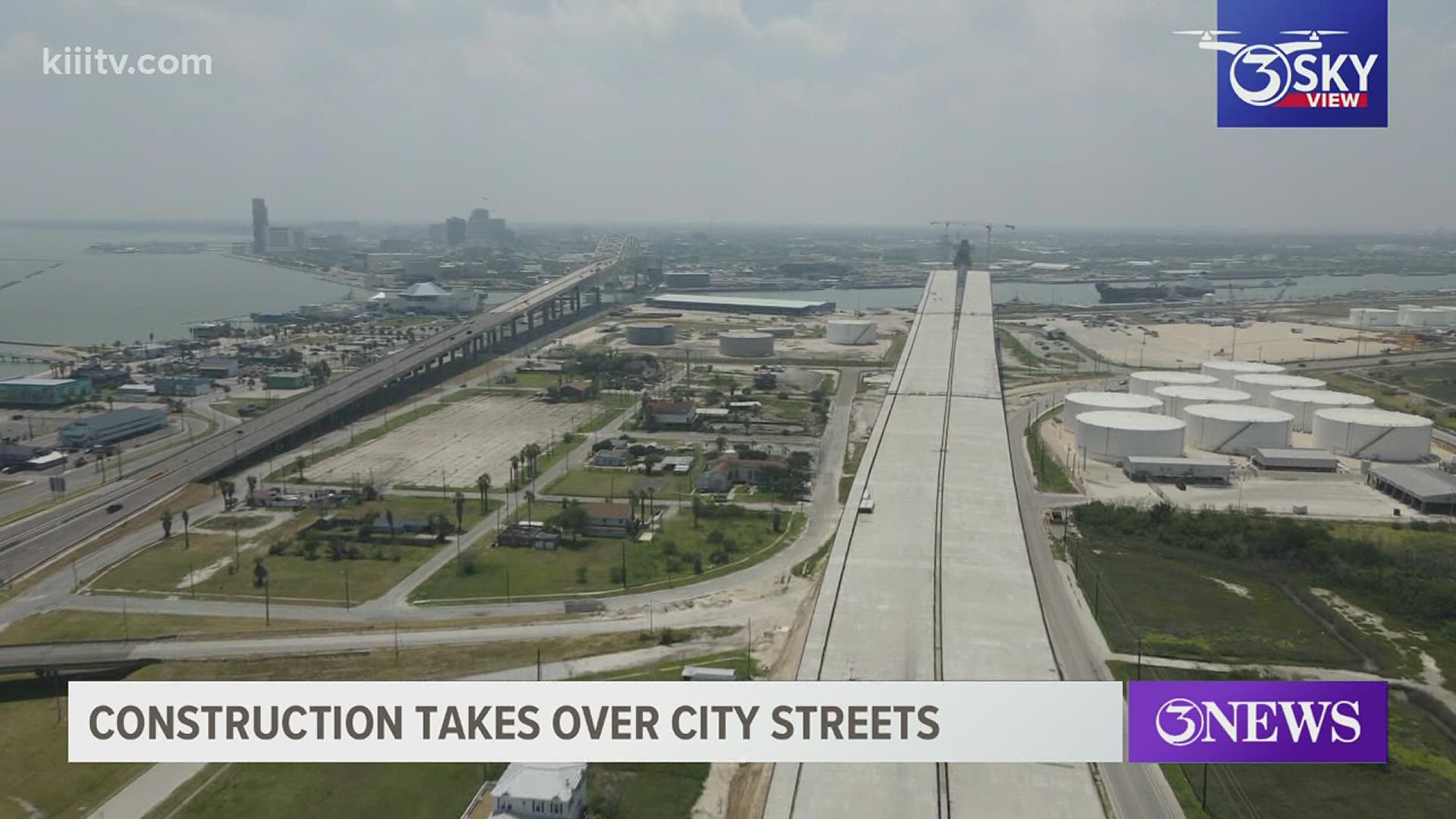
Flatiron Dragados oversees the Harbor Bridge project and its public information coordinator said they post all the changes along the roadways immediately to social media, and also send that info to local and state agencies.
However, third party mapping systems have their own way of getting road changes on their phone apps, and it may not always result in immediate changes.
"(Third party mapping systems) accumulate data from community user interface, that is user driven (and) is satellite driven. It is GPS and iOS software driven,” Lynn Allison, Flatiron Dragados Public Information Coordinator said. “So, I don’t have a direct line, to Waze for instance, or Google Maps for instance.”
Officials said the best way to navigate through areas like the harbor bridge construction project is to slow down and pay attention to road signs that assist drivers on where to go.